- Address: Trumbićev put 9, 20210 Cavtat
- Phone: +385 20 478 800
- Fax: +385 20 478 818
Prices
Prices overnight/Breakfast per person
| Type of accommodation/service |
Prices |
Prices |
|
| Rooms 1/1 |
Prices (Low season)80 € |
Prices (High season)160 € |
|
| Rooms 1/2 |
Prices (Low season)110 € |
Prices (High season)210 € |
|
| Rooms 1/3 |
Prices (Low season)150 € |
Prices (High season)260 € |
|
| Rooms 1/4 |
Prices (Low season)180 € |
Prices (High season)300 € |
|
Services/Facilities
-
Overnight stay + breakfast
-
TV
-
Phone
-
Satelite program
-
Air condition in room
-
Mini bar in room
-
Hotel fully airconditioned
-
Internet corner
-
Internet link in every room
-
Wireless Internet
-
Parking
-
Secured and guarded parking
-
Coffee bar
-
International cuisine
-
Local specialties
-
Solely local ingredients used in kitchen
-
Service 0-24
-
Mini bar in room
-
Balcony/terrace
Special offer
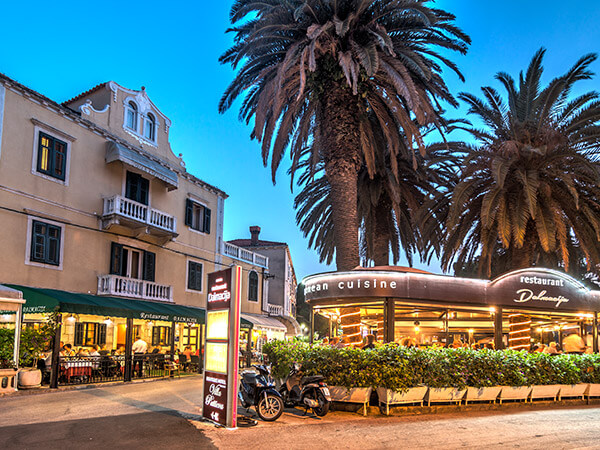
Pets allowed, Small excursions, A la carte restaurant, Transfers to the airport etc., Special offers, Sports activities
Destinations
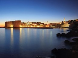
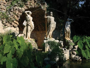
All those who have come to Croatia down the ages left behind a little of themselves in their passing. That said, they eventually departed with a tiny piece of her within themselves; something present day holiday makers will doubtless testify.
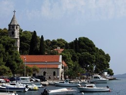
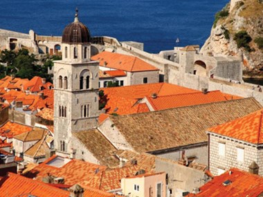
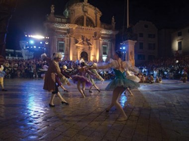
Attractions
Special offers, discount prices, and packages in the off-season.
Project partners
The green and digital transition project


 Project partner
 Visit www.croatia.hr